ERCALL MAGNA
A brief journey through time
The Place
The People
External Sites
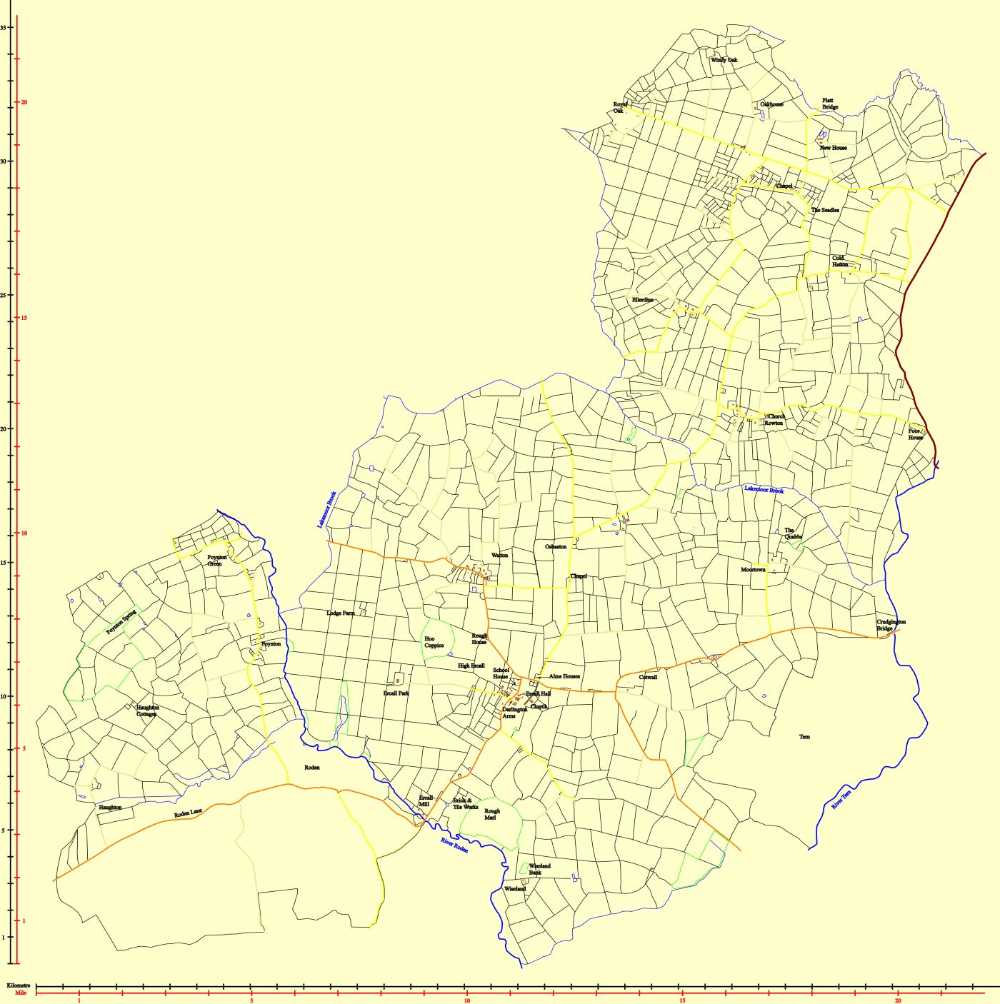
Ercall Magna fields map, made up with reference to the boundaries of 2007. Traced images from early field maps from around 1830 to 1850 ish. Not complete because the maps I used do not cover some aresas as completely, such as Roden and Tern. Housing from this map seem sparse compared with an earlier 1902 OS map.
