ERCALL MAGNA
A brief journey through time
The Place
The People
External Sites
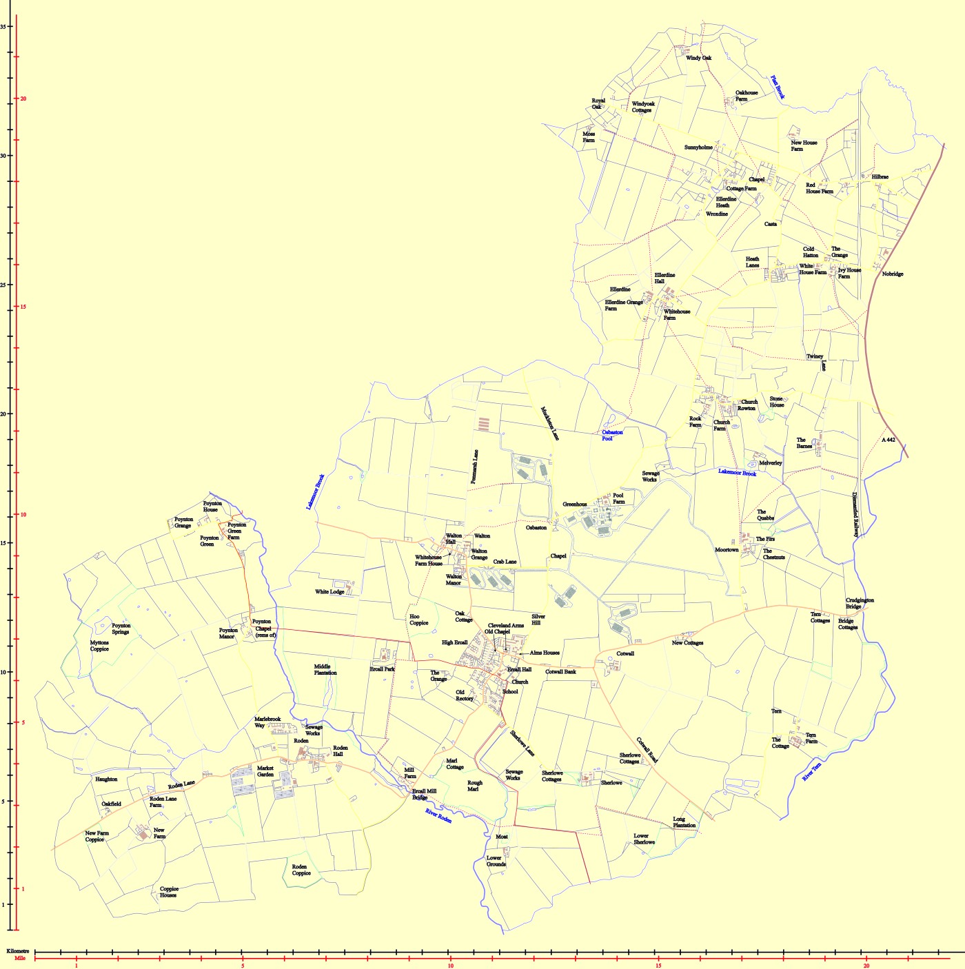
Ercall Magna fields map, made up with reference to the boundaries of 2007. Traced images from maps from around 1999 using Google earth as a reference for field layouts. The solid red line is the Shropshire Way, the dashed line are other footpaths as taken from the OS maps but with slight changes where I were aware of changes. Some however have changed recently and some I can not verify. The route for the Shropshire Way has been slightly amended from the OS to the route in a book called "The Shropshire Way" by Robert Kirk, which covers in detail the whole route.