ERCALL MAGNA
A brief journey through time
The Place
The People
External Sites
RAF High Ercall
|
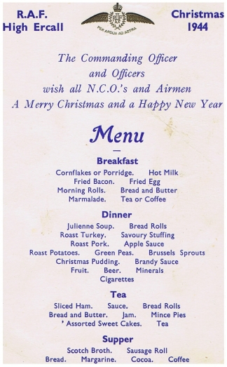
Christmas 1944 Many thanks to Margaret who kindly sent me this menu from 1944. She said her father was in the RAF and mother WAAF but was unsure which was stationed at Shawbury but thinks it may have been her late father, William (Bill) Hay. |
 |
| The above menu with several signatures of those attending the dinner. | 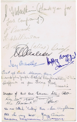 |
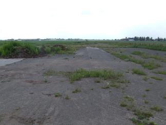 |
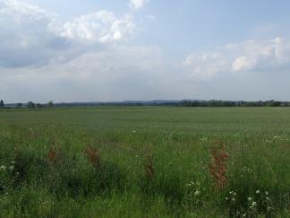
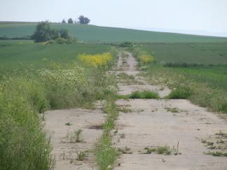
This is how ex RAF High Ercall runways
are looking today. All these were taken on the 01 June 2007 between
about 1630 and 1800. High Ercall had 3 solid runways. This first picture is standing close to 29 threshold and looking down towards Walton. This runway was 1591 yards or 1454.8 metres in length. |
The building that can bee seen is
a grain store and sits on the 11 threshold. Runway 11/29 was the
main runway as beyond the grain store and over the lane used to
stand the Main Beacon (Localiser ?), with the Inner Marker at 29
end, its also the runway that ran square with the control tower. |
 |
 |
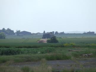
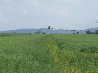
Taken from the back of the grain
store and looking towards Crudgington. The white blob is Crudgington
Creamery |
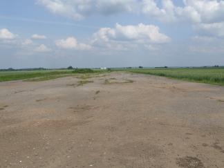
Standing at about 05 threshold, only
a short narrow strip remains at this end. This runway was the second
longest at 1412 yards or 1291 metres in length. |
 |
 |
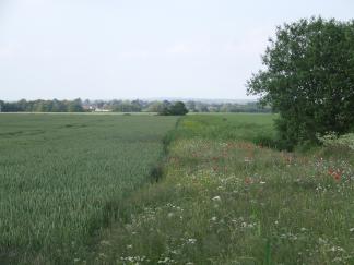
I were unable to determine exactly
where this point was but as near as I could work out it was likely
the 17/23 intersection. This is looking back to 05. In front is
Cotwall Bank and just out of shot is the church. |
|
Same point as the photo above. A bit of guess work based on
compass and visuals. This would have been runway 17/35. Runway length
was 1278 yards or 1168.6 metres. I couldn't get to where I thought
35 threshold would be as the perimeter track leading to 35 threshold
and 17/35 have been dug up. To the right is the Wrekin. |
 |
05/11 intersection looking to11 (up hill) 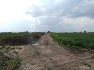 |
05/11 intersection looking to 29 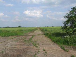 |
05/11 intersection looking to 23 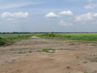 |
29/35 intersection
looking to 17 (roughly) |
29/35 intersection looking to 35
(roughly) 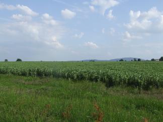 |
|
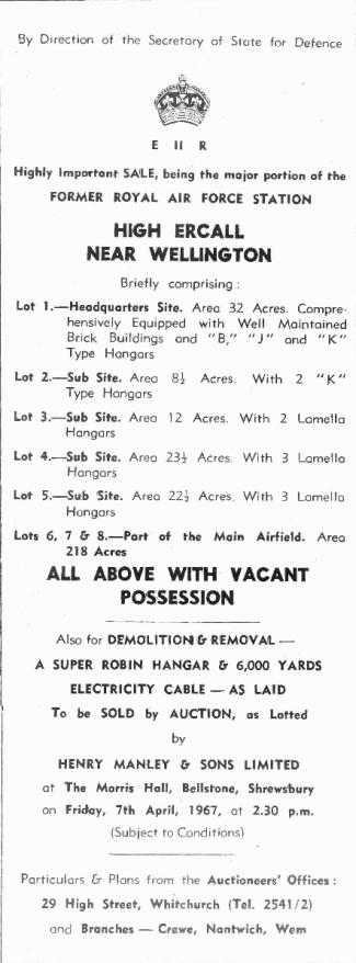
An advert for the sale of the various
airfield sites. Most of the Airfield returned to farming as can
be seen in the pictures above. The Headquarters site (Main site)
became the RTITB MOTEC 1 (Multi Occupational Training and Educational
Centre) and later Centrex and is now owned by the Angel group. The
Sub Sites with the hangars became warehousing. |
 |